PIG-PIB Katalog metadanych eCUDO.pl
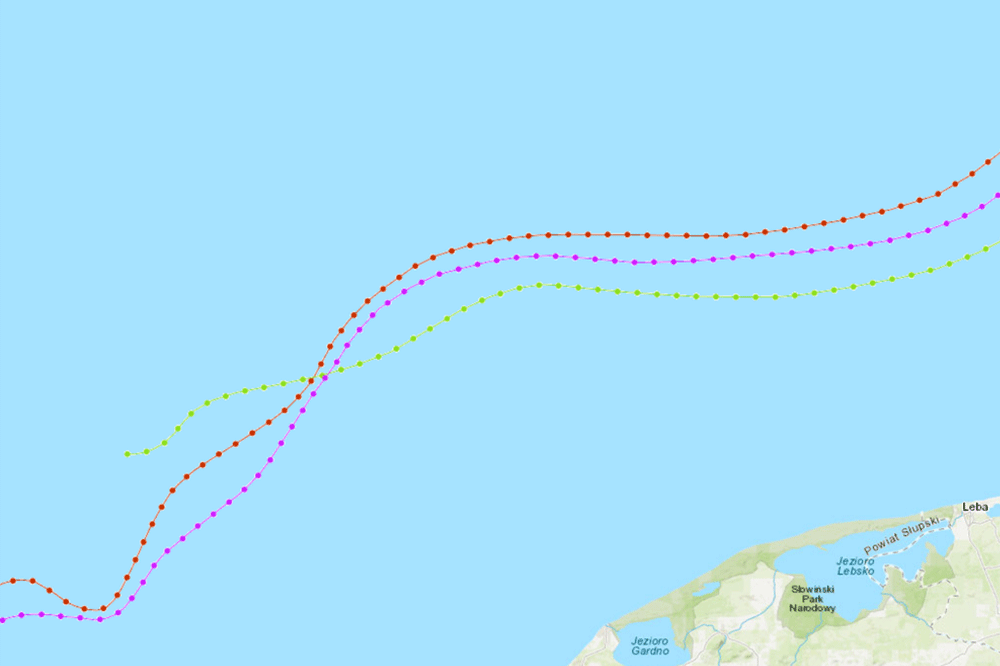
Zasięgi stratygraficzne cechsztynu, triasu, kredy pod paleogenem i neogenem
The data present Zechstein, Triassic and Cretaceous stratigraphic ranges under the Paleogene and Neogene of the bottom of Polish maritime areas
The data present Zechstein, Triassic and Cretaceous stratigraphic ranges under the Paleogene and Neogene of the bottom of Polish maritime areas
Dane prezentują zasięgi stratygraficzne cechsztynu, triasu, kredy pod paleogenem i neogenem polskich obszarów morskich
The data present Zechstein, Triassic and Cretaceous stratigraphic ranges under the Paleogene and Neogene of the bottom of Polish maritime areas
default
- Data (Publikacja)
- 2007-06-01
- Identyfikator
- urn:SDN:CDI:pgi.gov.pl:uuid:8493c806-5a32-4e25-8af6-2129ae73afed
- Status
- Zakończony
- CI_PresentationFormCode
-
-
mapDigital
mapDigital
Mapa cyfrowa
Digital map
-
-
GEMET - INSPIRE themes, version 1.0
GEMET - INSPIRE themes, version 1.0
GEMET - INSPIRE themes, version 1.0
-
-
Geology
Geology
Geologia
Geology
-
- SeaDataNet Device Categories
-
- research vessel
-
Continents, countries, sea regions of the world.
Continents, countries, sea regions of the world.
Continents, countries, sea regions of the world.
-
-
Baltic Sea
Baltic Sea
Bałtyk
Baltic Sea
-
- Ograniczenie korzystania
-
no conditions apply
no conditions apply
Nie obowiązują żadne warunki
No conditions apply
- Inne ograniczenia
- Creative Commons Uznanie autorstwa 4.0 Międzynarodowa Licencja Publiczna
- Typ reprezentacji przestrzennej
- Wektor
- Typ reprezentacji przestrzennej
- mapDigital
- Odległość
- 100 https://www.seadatanet.org/urnurl/SDN:P06::ULAA
- Język
- English
- Zbiór znaków
- Utf8
- Kategoria tematyczna
-
- Oceany
- Geoinformacja
))
- Data początkowa
- 2007-01-01T23:00:00
- Data końcowa
- 2007-01-09T23:00:00
- Unikalny identyfikator zasobu
- 4326
- Kod przestrzeni
-
SeaDataNet
- Format dystrybucji
-
-
INAPP
(
1
)
-
INAPP
(
1
)
- Zasób sieciowy
-
3
(
OGC:WMS-1.3.0-http-get-map
)
Type of range
Type of range
Type of range
Rodzaj zasięgu
- Poziom
- Zbiór danych
Wynik zgodności
- Data (Publikacja)
- 2010-12-08
- Wyjaśnienie
-
See the referenced specification
See the referenced specification
- Aprobata
- Yes
Wynik zgodności
- Data (Publikacja)
- 2008-12-04
- Wyjaśnienie
-
See the referenced specification
See the referenced specification
- Aprobata
- Yes
- Oświadczenie
-
This data was obtained with an use of all known scientific standards.
This data was obtained with an use of all known scientific standards.
Dane te uzyskano z wykorzystaniem wszystkich znanych standardów naukowych.
This data was obtained with an use of all known scientific standards.
- Identyfikator pliku
- urn:SDN:CDI:pgi.gov.pl:uuid:8493c806-5a32-4e25-8af6-2129ae73afed XML
- Język
- English
- Zbiór znaków
- Utf8
- Poziom hierarchii
- Zbiór danych
- Nazwa poziomu hierarchii
- CDI
- Oznaczenie daty metadanych
- 2022-07-25T12:58:53
- Nazwa standardu metadanych
-
ISO 19115/SeaDataNet profile
- Wersja standardu metadanych
-
1.0