INAP
Type of resources
Available actions
Topics
INSPIRE themes
Keywords
Contact for the resource
Provided by
Representation types
status
Resolution
specificationTitles
-
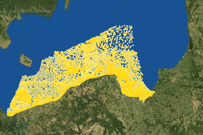
The data contain location of seabed samplers of the Polish maritime areas.
-
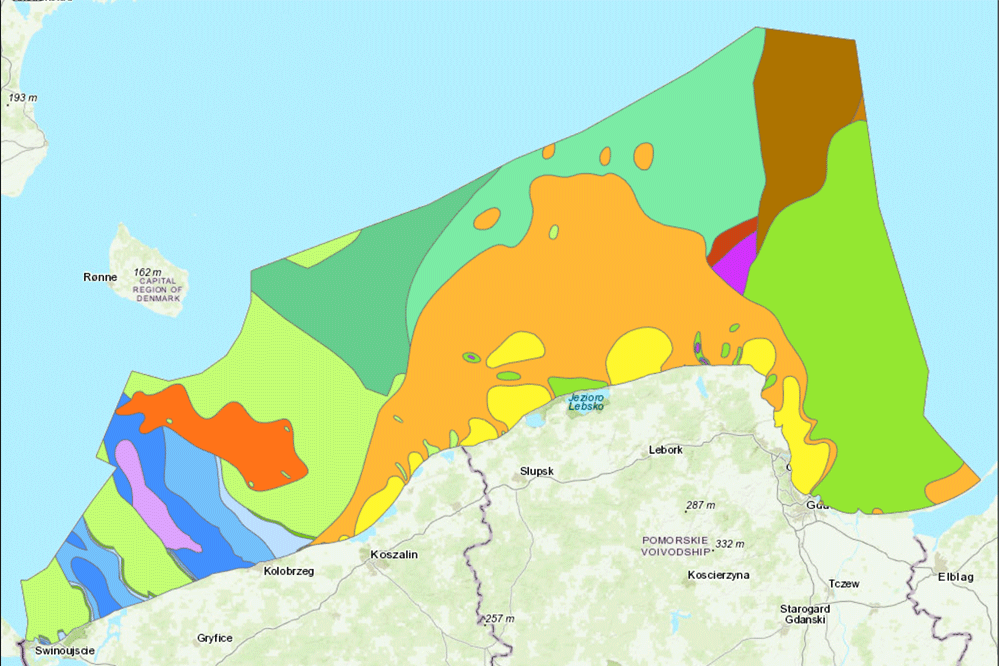
The data present bedrocks of the bottom of Polish maritime areas
-
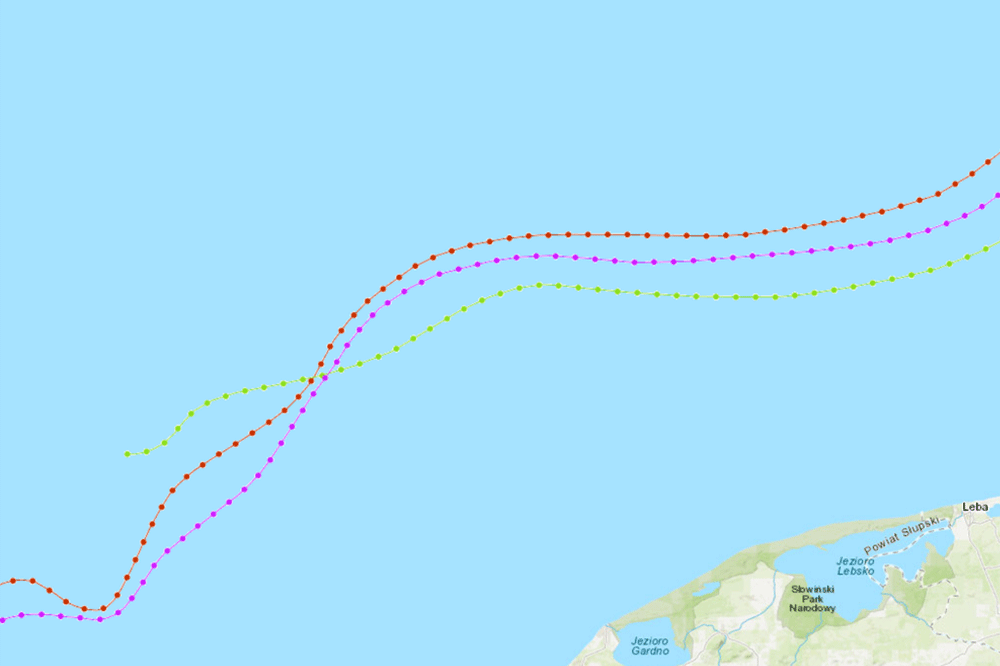
The data present Zechstein, Triassic and Cretaceous stratigraphic ranges under the Paleogene and Neogene of the bottom of Polish maritime areas
-
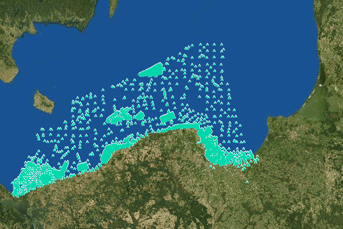
The data contain location of surface sediment samples with core samplers of the Polish maritime areas.
-
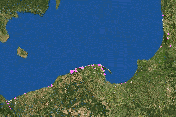
The data contain location of surface sediment samples with other samplers of the Polish maritime areas.
-
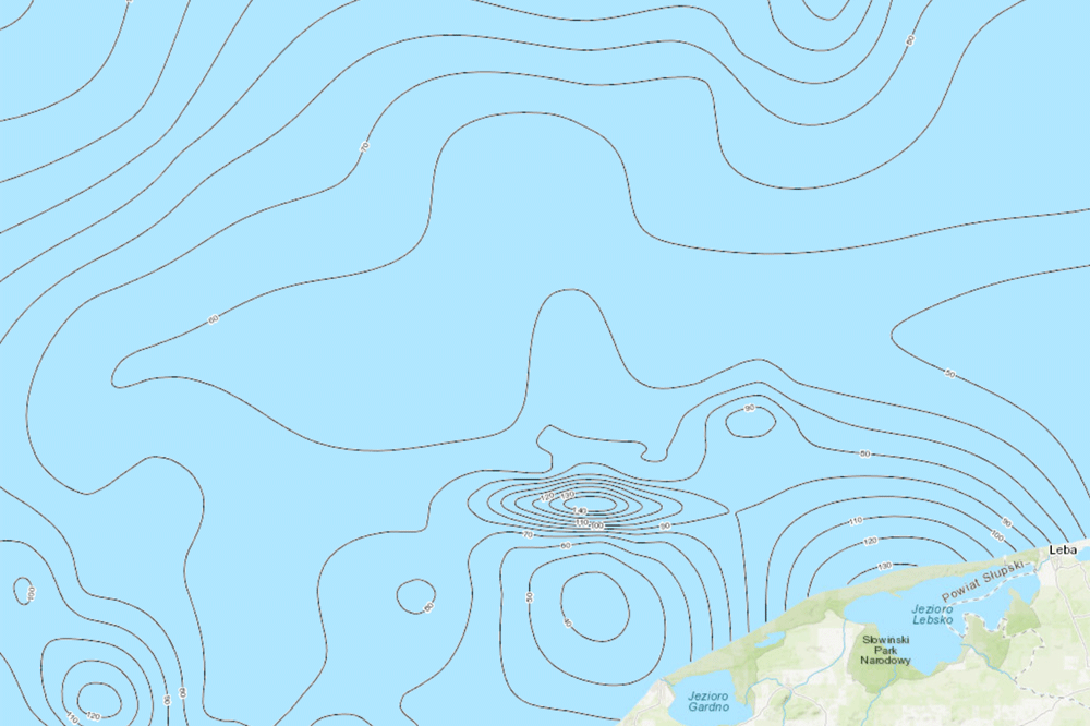
The data present Pre-Quaternary surface isohypses of Polish maritime areas
-
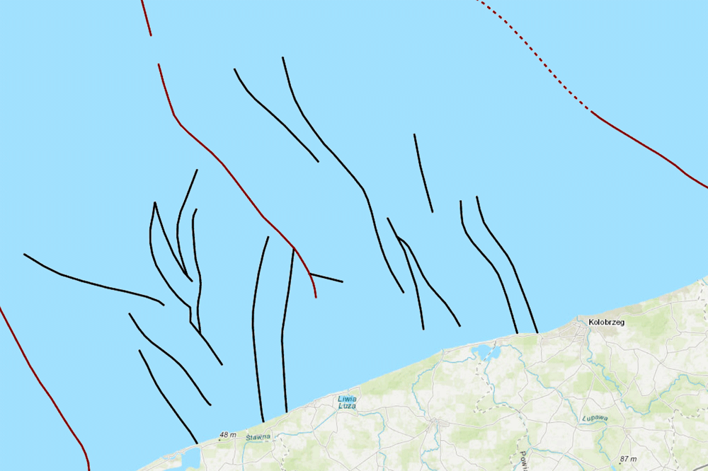
The data present tectonic of bedrocks of the bottom of Polish maritime areas
-
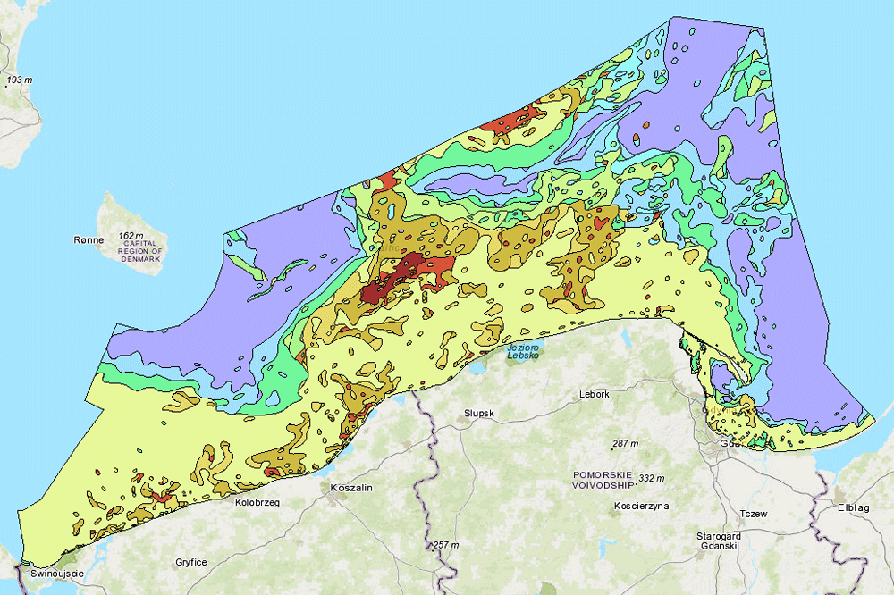
The data present surface sediments of the bottom of Polish maritime areas according to Folk classification
-
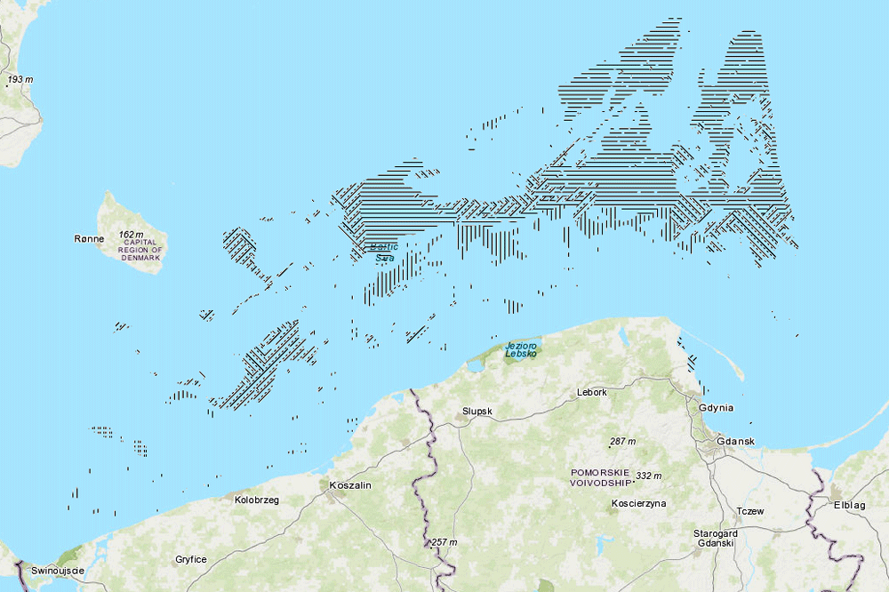
The data present surface sediments of the bottom of Polish maritime areas according to Shepard classification
-
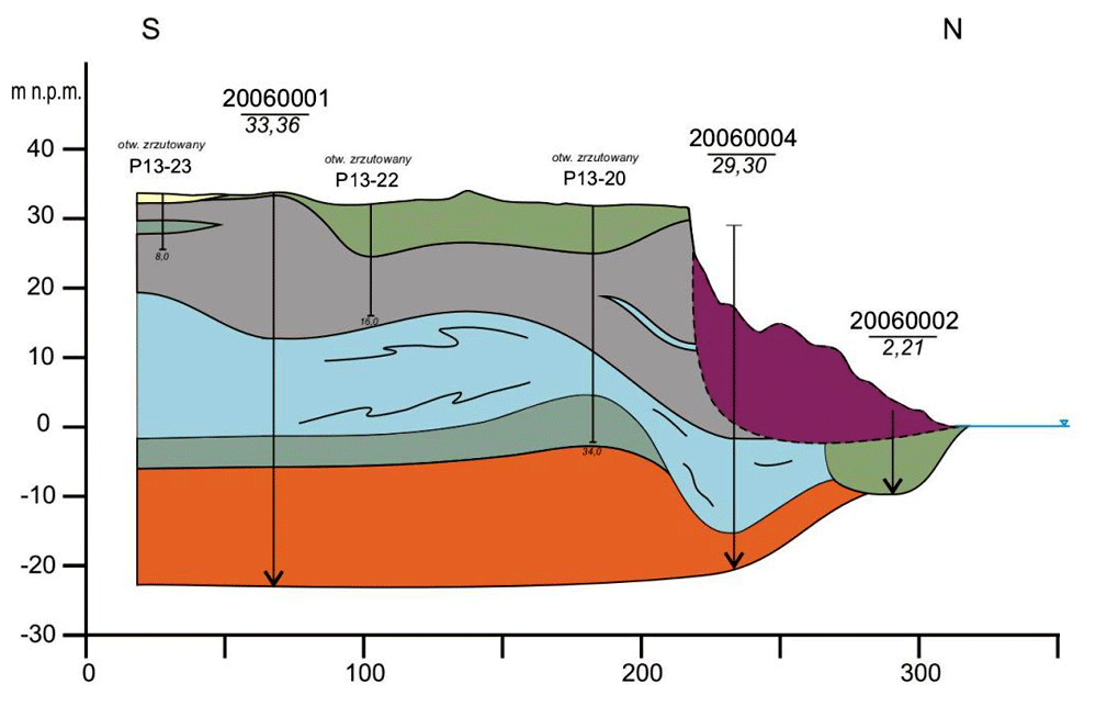
4D cartography in the coastal zone of the southern Baltic Sea. The main goals of the project: Reconstruction - recognition of the processes and trends taking place on the coast in the past; The present - possibly faithful depiction of the coastal zone in its present shape; Forecast - the formulation of possible directions for the development of the border zone.
 PIG-PIB Katalog metadanych eCUDO.pl